 0
Concepts
1
Deconstructions
2
Détournements
3
Art
4
Philosophy
5
Science
6
Chess
7
Boutique
8
Clinique
9
Portique
WfNL
0
Concepts
1
Deconstructions
2
Détournements
3
Art
4
Philosophy
5
Science
6
Chess
7
Boutique
8
Clinique
9
Portique
WfNL
Bottoms up
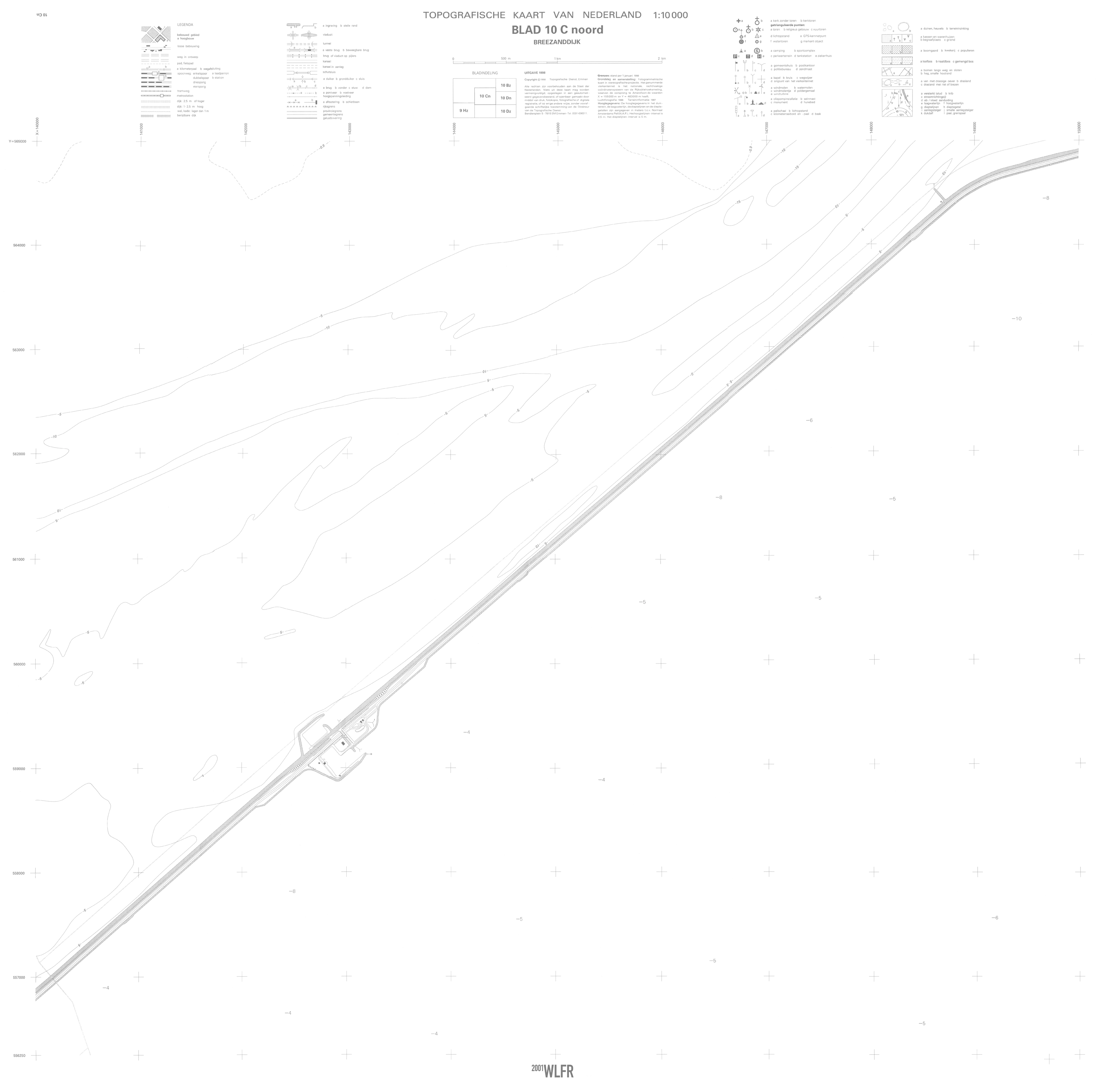
WfNL: Breezanddijk (1070 mm x 1045 mm)
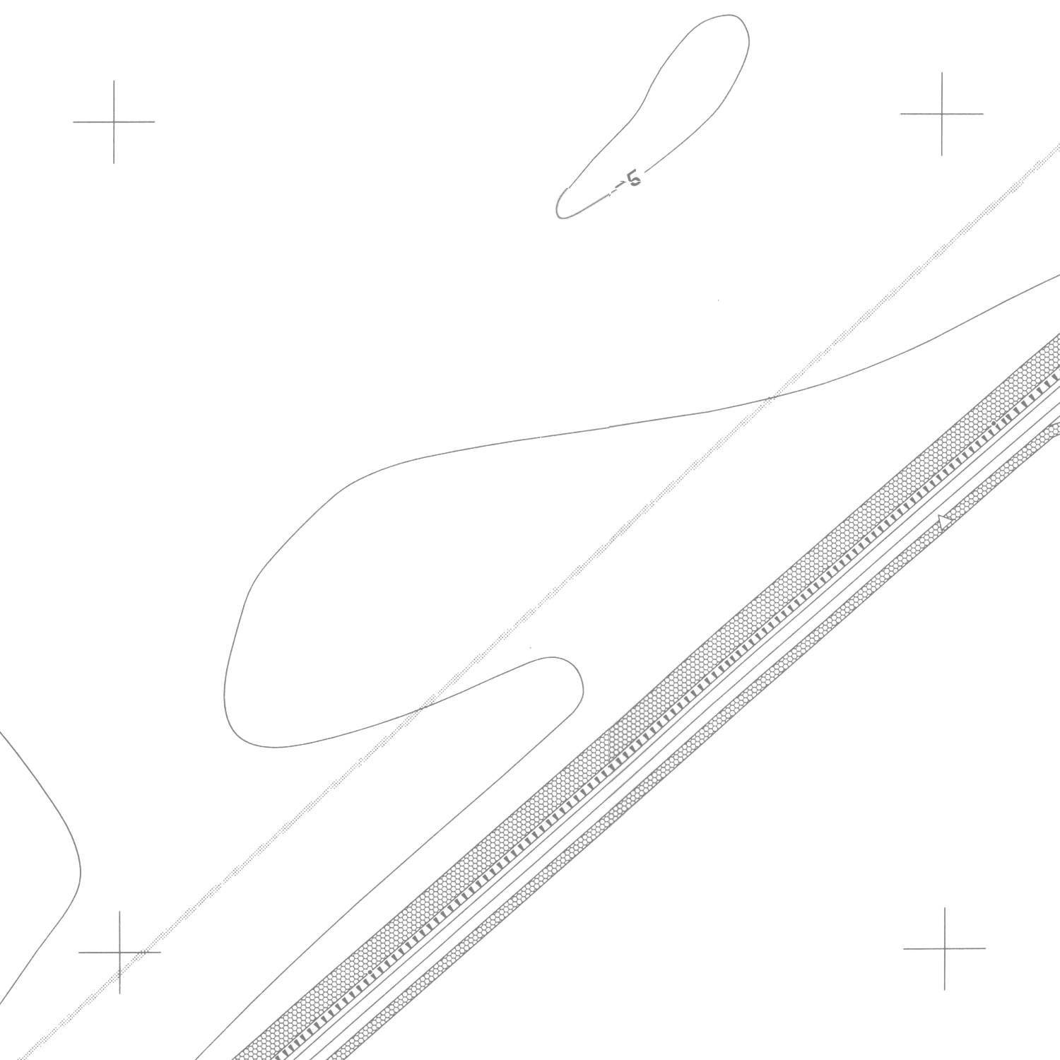
WfNL: Breezanddijk (detail)
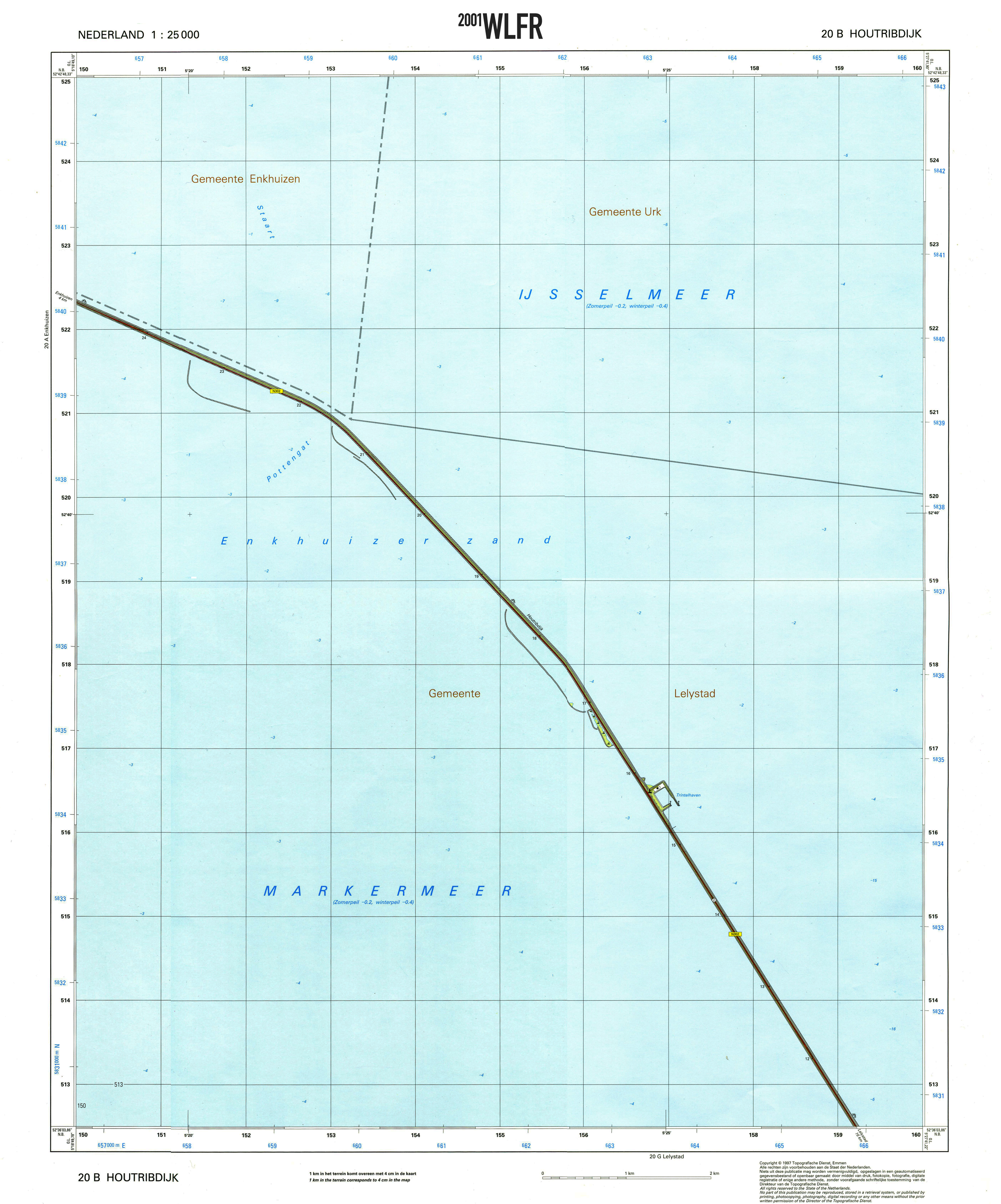
WfNL: Houtribdijk (475 mm x 570 mm)
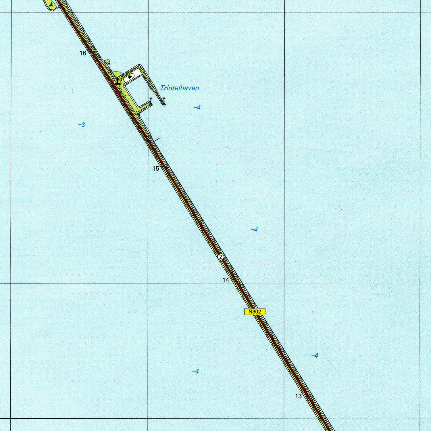
WfNL: Houtribdijk (detail)

WfNL and WfNL++++ audio album covers
concept 45
by WLFR
WfNL is a project presenting absurdist sides of the Netherlands through its own cartography. A selection of maps from the Dutch national cartography institute (the Kadaster) showing primarily water, cross-sected by the straight geometry of dikes and sea barriers.
These maps, presented as readymades for the first time in 2001, not only evoke emotions of solitude and the vastness of nature against man’s attempts to conquer it, they also frame the construction of the Dutch territory as abstract geometric art and the absurd consequences of completeness in map-making.
The 2001 exhibition of the map series in the city of Utrecht (itself located just at the edge of the land areas below sea level) was accompanied by sound below hearing levels: the first eight notes of the Dutch national hymn (the Wilhelmus) as they were used by national radio stations after broadcasting hours — but slowed down to infrasound.
A total of ten maps were chosen as readymades for the WfNL project: eight large scale grey-on-white maps in 1:10000 scale, and two smaller (colour) ones in 1:25000. In the future, these will become available in the Boutique. The infrasonic accompaniment to the maps is released for the first time here as a free download — as well as a bonus album (WfNL++++) of different upscales of the same piece, from the infra- to the ultrasonic.
Please note that the playback of infra- and ultrasonic sound might require specialist audio equipment, and should be conducted with care to avoid health risks.
Downloads available in the boutique.